What I did over the Christmas (2005) holiday
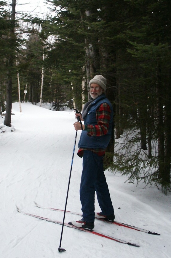
Our family headed north from our base in Connecticut to southern Vermont for a short ski trip. Our two sons downhill skied/snowboarded while Jan and I cross-country skied. We had a great time.
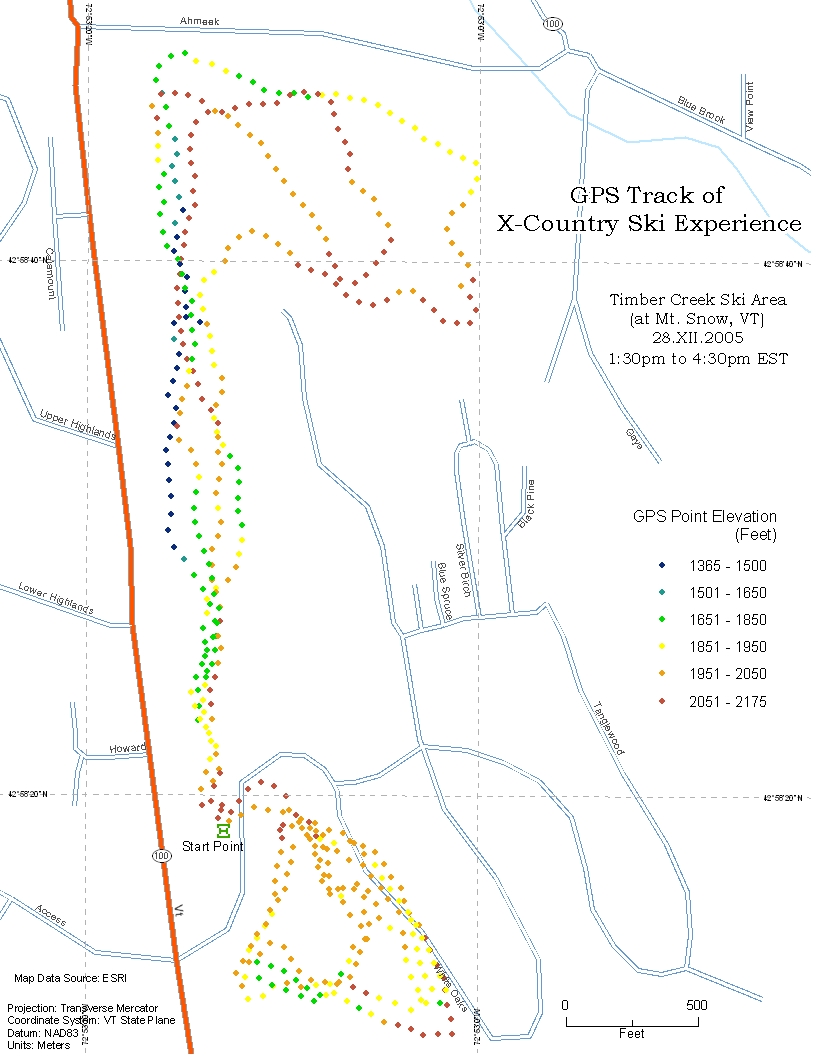
The map below left shows in detail where Jan and I skied in map form. I skied until sunset, which at that high latitude (~43°N) and date (December 28) occurs around 4:30pm EST.
The map on the right shows a bigger picture that includes all of southern Vermont and parts of adjacent New Hampshire, Massachusetts, and New York. The red dot/blob superimposed on the Raisz landform map portion shows where we skied.